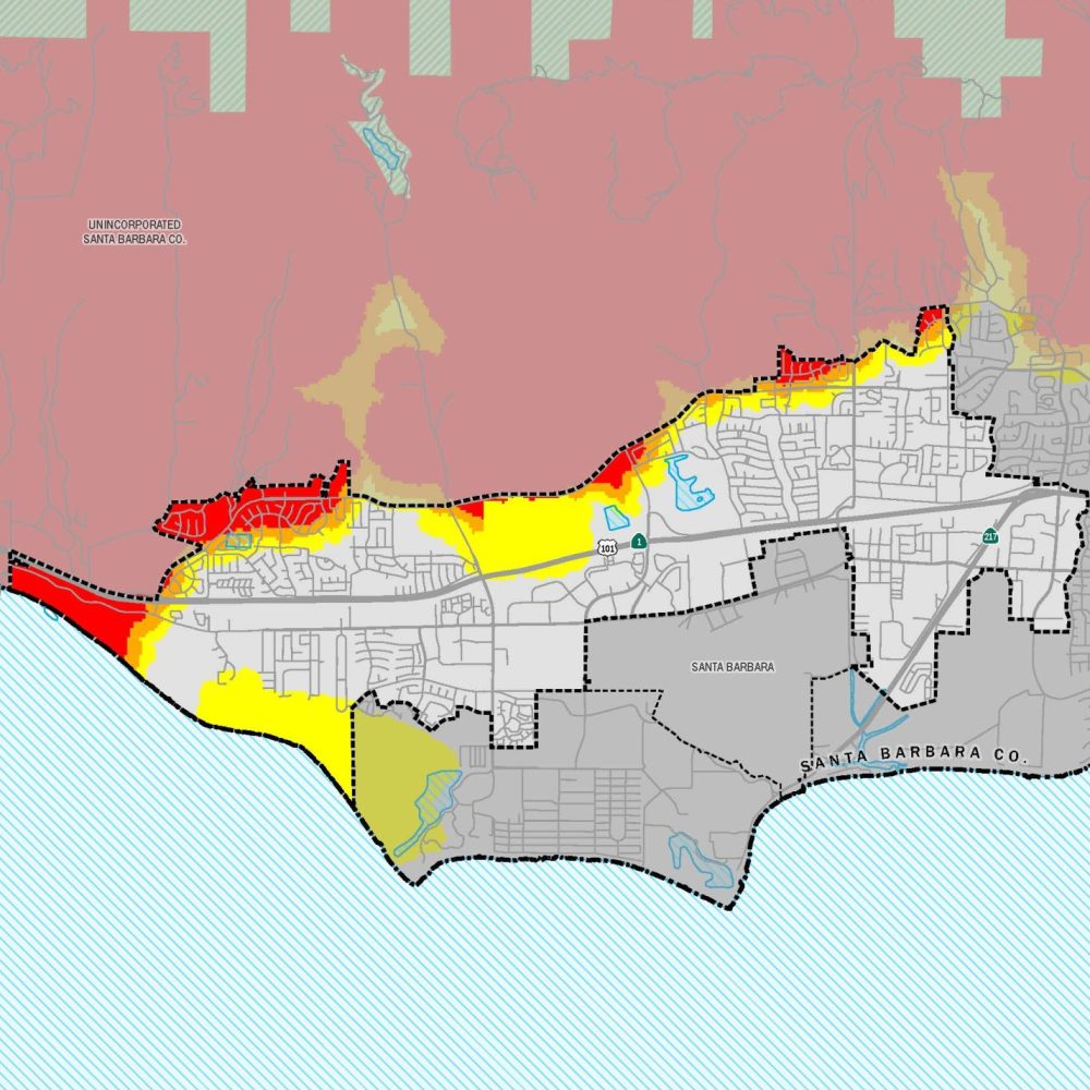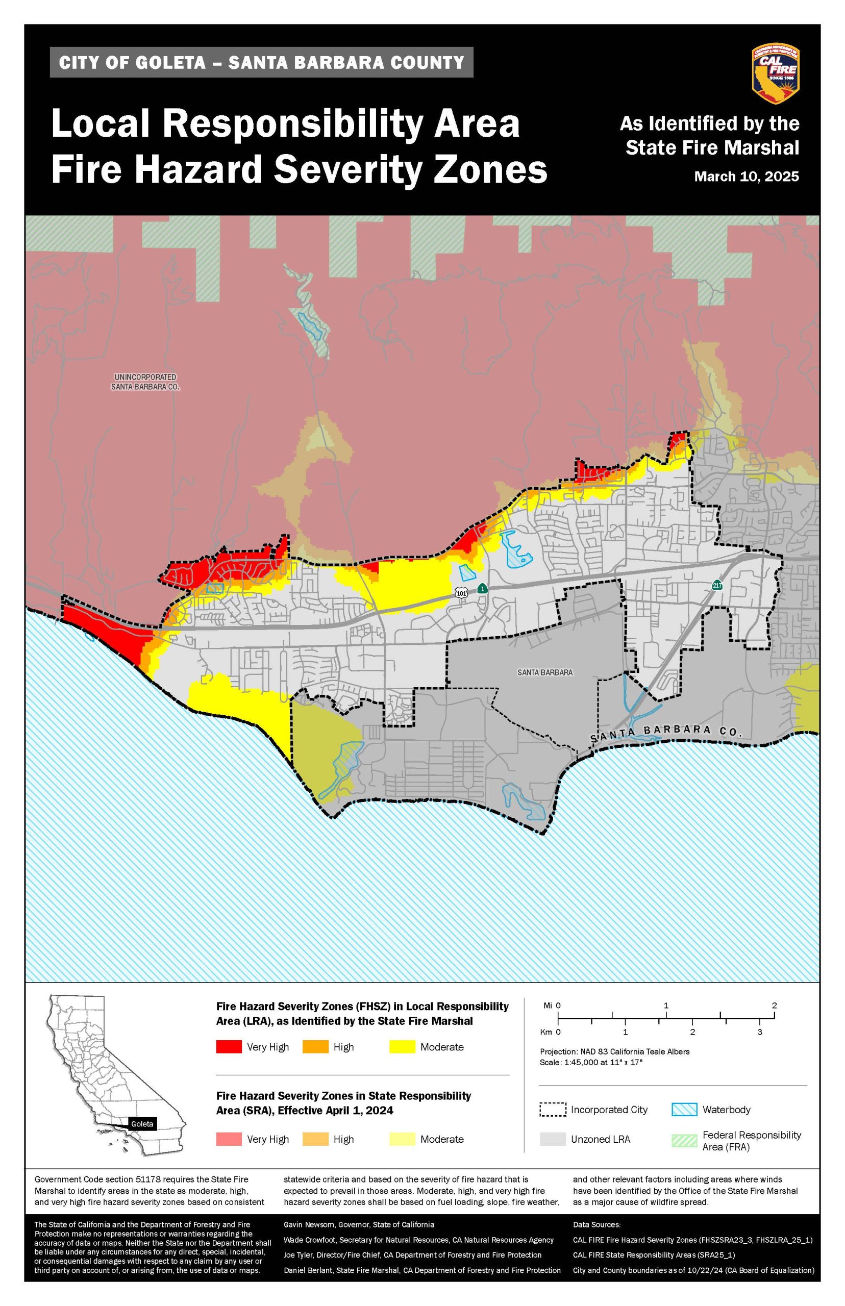
The California Department of Forestry and Fire Protection (CAL FIRE) released updated Fire Hazard Severity Zones (FHSZ) Maps for Local Responsibility Areas (LRA) within Santa Barbara County on March 10, 2025. It was CAL FIRE’s first update to the LRA maps since 2009. In accordance with State law, local agencies must adopt and designate updated zones within 120 days.
Community members can visit their local fire department’s website to review the map where they live and share comments. Goleta residents should go to: https://sbcfire.com/
For questions or public comment: FireHazardSeverityZones@countyofsb.org
Where applicable, local fire departments have also published proposed maps specific to their jurisdictions. These proposed maps incorporate State-designated zones and reflect local knowledge, such as terrain-specific hazards, sundowner wind patterns, and evacuation complexities.
CAL FIRE Released Local Responsibility Area (LRA) Fire Hazard Severity Zone Maps:
Proposed Amendments to LRA Fire Hazard Severity Zone Maps:
The State Fire Marshal classifies lands as one of the FHSZ types:
- Moderate
- High
- Very High
Per Government Code, CAL FIRE provides FHSZ Maps for Local Responsibility Areas. The six fire departments of Santa Barbara County with areas updated by the 2025 release of CAL FIRE’s FHSZ Maps for Local Responsibility Areas are:
- Carpinteria-Summerland Fire Protection District
- Lompoc City Fire Department
- Montecito Fire Protection District
- Santa Barbara City Fire Department
- Santa Barbara County Fire Department
- Santa Maria Fire Department
Under State law, local agencies may not reduce the severity level of hazard zones designated by the State. However, they may raise the hazard classification or include additional areas based on local conditions.


